
GIS MAPPING:
GIS Mapping
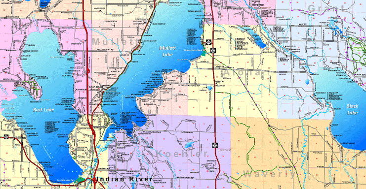
NEMCOG provides GIS services and professional map design. A geographic information system is a computer-based tool for mapping and analyzing things that exist and events that happen on earth. GIS technology integrates common database operations such as query and statistical analysis with the unique visualization and geographic analysis benefits offered by layered maps. These abilities distinguish GIS from other information systems and make it valuable to a wide range of public and private enterprises for explaining events, predicting outcomes, and planning strategies.
NEMCOG staff offers many different types of mapping services such as:
Map layout for print publications
911 Mapping
Parcel Mapping
Land Use/Land Cover Maps
Zoning Maps
Recreation Maps and Development Plans
Transportation Maps
Infrastructure Maps
Cemetery Maps
Tourism Maps
Natural Resource Maps
Asset Maps (compilation of GPS locations of any type of assets within an area)
Oil and gas well maps
Custom maps